
THE BEST SURF & DESIGN HOTELS · UNITED STATES
Big Sur & Carmel
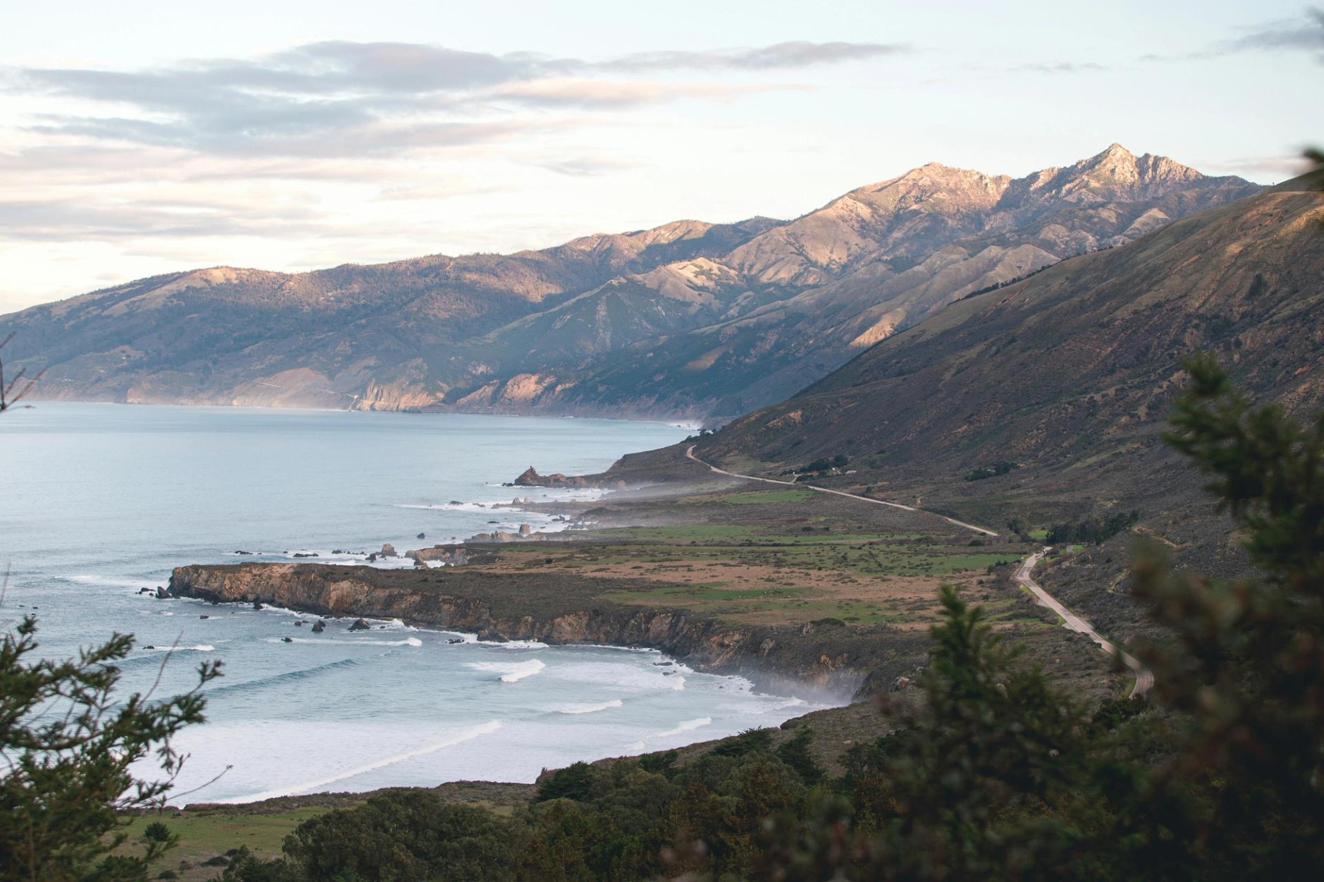
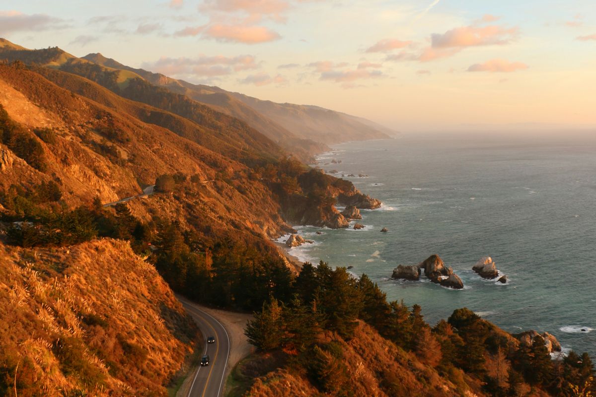
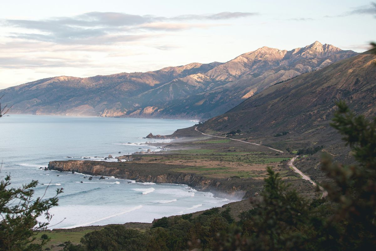
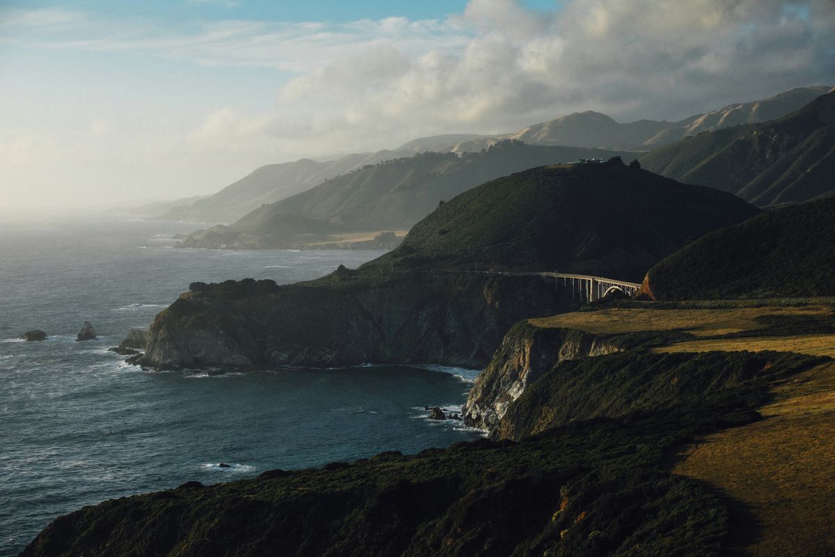
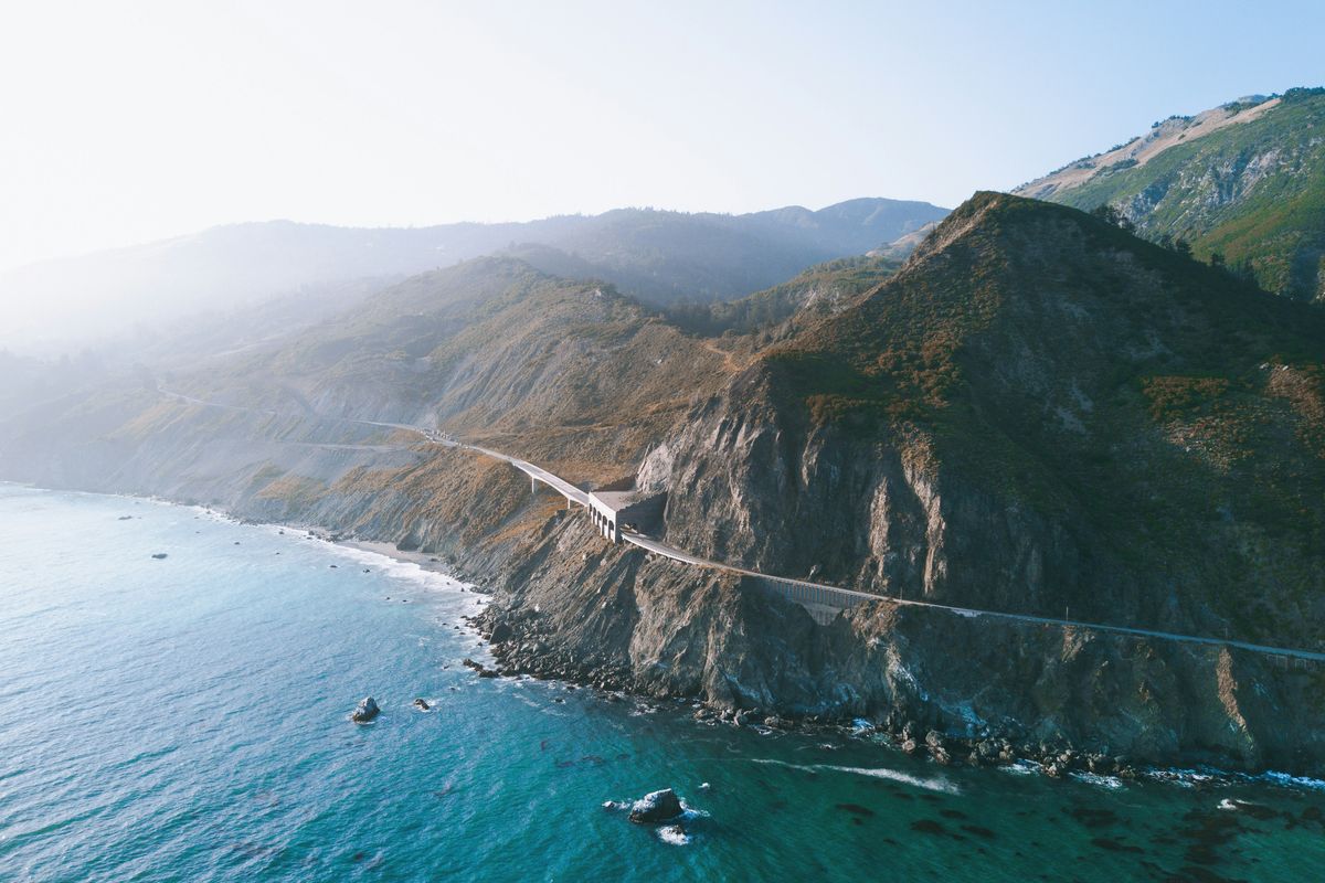
The most dramatic coastal drive in America. The Santa Lucia Mountains dropping directly into the Pacific, ninety miles of it, almost nothing built. The land use laws that kept it this way are the most restricted in the United States.
The Big Sur Land Use Plan is the most restricted land use plan in the United States. It exists because, at some point in the 1960s, enough people understood that this ninety-mile stretch of California coastline between Carmel and San Simeon was irreplaceable — the Santa Lucia Mountains dropping directly into the Pacific, redwood canyons behind the cliffs, no towns to speak of, no chain anything. The plan has held. John Steinbeck worked a summer on the Post family ranch in 1920 and had to borrow stage fare from Mrs. Post when he left — he mailed it back promptly. He spent the rest of his life writing about this country. The families who owned the land long enough to see the plan written chose, when the time came, to build something worth building. That history is visible in the properties themselves.
Carmel-by-the-Sea, at the northern end of Highway 1 where the cliffs give way to white sand and Monterey cypress, is its own distinct proposition — a one-square-mile town that banned street addresses, chain restaurants, and neon signs by municipal decree, and has accordingly remained one of the more specific places on the California coast. Nearly a hundred galleries in a mile-square. A beach at the end of Ocean Avenue that faces due west into consistent winter swells. Point Lobos just south — one of the finest stretches of coastal wilderness in California, where the kelp forests visible from the cliffs are among the richest marine habitats on the Pacific. The drive between Carmel and the hotels of Big Sur, along a Highway 1 that hugs the cliff edge above the ocean, is not incidental to the trip. It is the trip.
In the collective
Where to stay in Big Sur & Carmel
Big Sur & Carmel
Big Sur & Carmel in pictures
Elsewhere in the collective


